Dummy Satellite Image Classification
This project serves as a “hello world” example in computer vision, focusing on a simple image classification task using a custom ResNet architecture to classify satellite images.
- Problem domain: Multi-class image classification
- Data type: Remote sensing satellite images
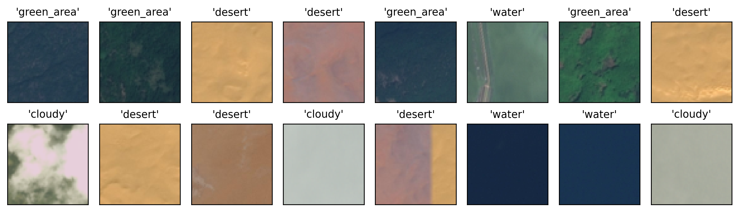
Dataset
The data used in this project consist of low-resolution Remote Sensing (RS) images stored as .jpg
files. Each image is associated with exactly one of the following four classes:
green areacloudydesertwater
The data can be freely downloaded from the original Kaggle Dataset.
Performance
              precision    recall  f1-score   support

           0     1.0000    0.9942    0.9971       172
           1     0.9909    1.0000    0.9954       109
           2     0.9930    0.9930    0.9930       143
           3     0.9929    0.9929    0.9929       140

    accuracy                         0.9947       564
   macro avg     0.9942    0.9950    0.9946       564
weighted avg     0.9947    0.9947    0.9947       564
Training Setup
| Training aspect | Details |
|---|---|
| Model architecture | Custom ResNet (trained from scratch, no transfer learning) |
| Splits | Stratified Holdout (80%, 10%, 10%) |
| Epochs | 40 |
| Batch size | 16 |
| Optimizer | Adam |
| LR scheduler | OneCycleLR (max_lr = 0.1) |
| Gradient clipping | max_norm = 0.1 |
| Loss function | CrossEntropyLoss |
| Data augmentation | Random Horizontal Flip |